內容簡介
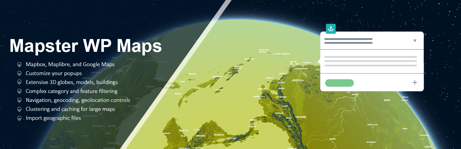
Mapster WP Maps 是一款專為 WordPress 設計的地圖編輯器與創建工具,整合了 MapLibre、Mapbox 和 Google Maps,無需 API 金鑰即可使用 MapLibre,讓使用者輕鬆創建和自訂地圖。
【主要功能】
• 實時地圖編輯與預覽
• 支援 Maplibre、Mapbox 和 Google Maps
• 提供 20 種預設地圖樣式
• 自訂地圖大小與樣式
• 添加無限特徵(點、線、面)
• 地圖控制與篩選功能
外掛標籤
開發者團隊
📦 歷史版本下載
原文外掛簡介
With Mapster WP Maps, we’re trying to make the best map editor and creator for WordPress.
We integrate MapLibre, Mapbox, and Google Maps. You don’t need an API key to use MapLibre!
Main site
Example site
Documentation (with video guides!)
Check out the extensive feature list below.
💽 If you’re a developer, you can extend this plugin with custom code, too.
Happy mapping!
🌟 Free Version
Download the free version from this page. We hope to make this really useful for the vast majority of users. But if you need more, check out Pro!
🗺️ Map Features
Live map editor and preview
Choose between Maplibre (no API key required), Mapbox, and Google Maps
20 default map styles to choose from
Use your own custom styles from Mapbox or any map tile provider
Shortcodes and Block integrations to place your maps anywhere
Variety of map projections available
Custom size ranging from specific pixel sizes to full-screen maps
Mapbox Standard with 3D features and environment
3D terrain
Set custom center, zoom, tilt and rotation of map
Have map automatically fit to features
Add unlimited features (points, polygons, lines) to maps
Cluster circles, labels, or markers for displaying many features at once
Change user ability to interact with the map
Move map to user IP on map load
🕹️ Map Controls
All controls can be positioned around the map as desired
Category filter, where you can hide/show specific categories of features
Custom search through features on the map (by text)
Clickable, filterable dropdown list of features on the map
Basic list
Geocoder (search by address)
3D switcher
Directions (origin and destination)
Geolocation (user tracking)
Make map fullscreen
Zoom control, scale control
Modify logo and attribution
📍 Geographic Features
Easy creation of features by drawing, entering address, or uploading data
Unlimited Points, Labels, Text, Markers, Circles, Lines, Bezier Curves, Polygons
Custom markers, icons, text
Customize color, borders, opacity, line thickness
Custom marker color, size, rotation, anchors
Circle radius, opacity, color, border width and color
Custom text labels with font choice, positioning, font size, color
Custom icons with image of your choice, scale, rotation, position
Use geographic features across multiple maps at once
Interaction with any feature via click or hover
Open popups on click or hover for any features
💬 Popups
Set of default popup styles or define your own using a Popup Builder
Set popup to open automatically on click or hover, or when the map loads
Popup header, description, thumbnail image, button footer all included optionally
Easy preview of Popup Builder
Set colors and text for popups
Add custom CSS for popups to take full control of styling
Center popup on map open
Zoom on open
Close when map clicked
Open to directions, custom links, post information, or modal
📥 Import
Import up to 100 features per file (depending on number of coordinates)
Import geoJSON, KML, GPX, Shapefiles
All metadata retained in custom fields during import
Easily import/export settings between installations
🖳 Developer
Custom permalinks for geographies and maps
Add custom scripts to load and get access to the map variable
Use hooks to run scripts on specific map events
Shortcodes for outputting features on maps via IDs
🌟🌟 Pro Version
If you’re building a really custom application or need some special functionality, Pro has got it. We also offer a lot of support and are happy to build out new features.
🗺️ Map Features
Additional 16 map styles, for a total of 36 styles available
Custom images as the map base, including scalable SVGs
Set 3D globe view
Add 3D buildings
Set map language
Restrict map movement to specific boundaries
Set custom sizes of the map at different screen widths (mobile breakpoints)
Advanced clustering options for size, color, and settings of clusters
Replace clusters with images
Choose cooperative gestures to avoid accidental map scrolling
Customize the map loading graphic
Add data to custom post types and add them to your map (Mapster ACF field)
Geolocate to user IP address
🕹️ Map Controls
Manually order controls to appear the way you want on the map
High accuracy geolocation, user heading, tracking as user moves, accuracy circle
Style switcher to change between different Mapbox or Maplibre style JSONs
Layer switcher to turn off and on layers from your Mapbox style
Custom HTML control to make your own interactivity
Print control to allow users to download an image of the map
Download control (users can download all geographic features from the map)
Allow searching by latitude and longitude in geocoder
Display images in clickable feature lists
Change type of filtering (inclusive or exclusive), set initial visibility, add additional filters based on custom fields
Store Locator list
List of features can be ordered and grouped by categories
Manually order categories for category filter
Manually order controls appearance on map
Create a toggleable container to open/close your controls
📍 Geographic Features
Add MultiLineStrings, MultiPolygons
Change styles of features on hover
Add 3D models (GLB) and set size and rotation
Add images on top of polygons as image layers
Static sized icons to real-world measurements
Mass edit features to make changes to 100s of styles at once
Add images to map, defined by drawn polygons
💬 Popups
Render shortcodes inside popups
Button to open modal with more information
Open directly to modal on marker click
Replace Popups completely with custom HTML
Insert data from custom fields into your popups (using ACF or built-in fields)
💾 Big Data
Unlimited size of imports
Caching for quick loading of map
Import from Google Sheets
Manage automatic uploading of data to Mapbox through the Mapbox Tiling Service
Access and create Spatial APIs from your data
🌎 Specialty Maps
Allow users to submit points to make a crowdsourced map
Compare two different maps
Add elevation detail for a route
Design heatmaps with big data
Creating a listing page that connects your custom posts with geographic data on the map
🖳 Developer
Advanced Custom Fields (ACF) field type for maps
Gravity Forms map field
Love,
Your Friends at Mapster