內容簡介
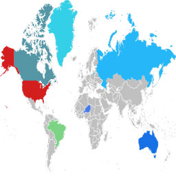
Atlas Maps 是一款互動式 SVG 地圖外掛,讓使用者能在 WordPress 中輕鬆建立可點擊的世界地圖、歐洲地圖及美國地圖。此外掛提供即時視覺反饋,無需編碼,適合用於導航、目錄及商店定位等用途。
【主要功能】
• 快速建立可點擊的互動地圖
• 支援無限個地圖及短碼嵌入
• 完全響應式及行動友好
• 自訂地圖顏色及提示資訊
• 提供多達 5 個自訂釘標
外掛標籤
開發者團隊
② 後台搜尋「Interactive World, Europe & US Maps – Atlas Maps」→ 直接安裝(推薦)
原文外掛簡介
Atlas Maps is an interactive SVG map plugin for WordPress. Build responsive world, Europe and US maps with clickable regions, tooltips and pins in just a few minutes. Create interactive world maps, US state maps and Europe maps for navigation, directories, store locators and more — all inside WordPress.
Customize your map colors, tooltips and click actions directly in the WordPress admin with instant visual feedback, then embed your map anywhere using a simple shortcode. No coding required and no Google Maps or external APIs needed.
View a demo
See Pro features
Features
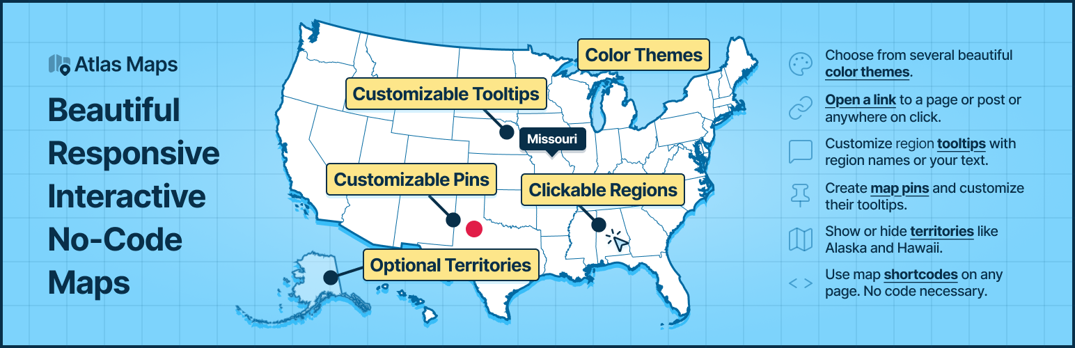
Quickly build an interactive world map with clickable countries, a US map with clickable states, or a Europe map with clickable countries for your WordPress site.
Optionally show or hide Alaska and Hawaii on US maps.
Create unlimited interactive maps and display them anywhere using shortcodes. No coding required.
All maps use the correct projection out of the box.
Maps are fully responsive and mobile-friendly.
Edit maps in the WordPress admin with instant visual feedback.
Choose from 3 beautiful built-in themes.
Use click actions to direct users to any location when they click individual regions.
Customize tooltips using dynamic fields (region name, country name, state name, etc.).
Create up to 5 pins at any latitude/longitude location.
Customize the pin tooltip with the same powerful formatting as region tooltips.
Pro Features
198 country maps including 26 territories, and 56 US state maps.
Rich-text and interactive tooltips (clickable content inside the tooltip).
Additional themes and a full theme editor to perfectly match your site.
Per-region hover effects and color customization.
Unlimited pins with configurable tooltips, colors, shapes and sizes.
Pins with icons from seven icon sets: Lucide, Tabler, Phosphor (regular and filled), Font Awesome, Material Symbols and Hugeicons.
Pins with your own images and logos, from the Media Library, an uploaded SVG file or a web address.
US state labels, with callouts that show the small northeastern states in boxes next to the map.
See a live demo with all Pro features enabled.