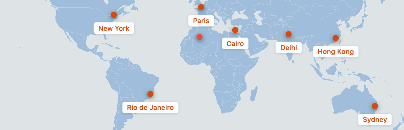
內容簡介
Max Interactive Maps 是一款為 WordPress 提供互動式 SVG 世界地圖的外掛。使用者可以透過視覺編輯器放置標記,設定標籤、目標網址、顏色和圖示,並透過短碼嵌入已發布的地圖,無需第三方地圖服務或 API 金鑰。
【主要功能】
• 拖放標記放置
• 百分比定位
• 五種標記圖示樣式
• 自訂顏色控制
• 響應式地圖
• 鍵盤控制
外掛標籤
開發者團隊
原文外掛簡介
Max Interactive Maps adds a bundled SVG world map to WordPress. Place pins with a visual editor, choose their labels, destination URLs, colors and icons, then embed the published map using its shortcode. Maps do not require a third-party map service, map tiles or an API key.
Key Features
Drag-and-Drop Pin Placement – Add and position pins on the bundled world map
Percentage-Based Positioning – Pin anchors scale with the map’s SVG canvas
5 Pin Icon Styles – Choose from Simple Dot, Teardrop, Star, Flag, or Pushpin designs
Custom Color Controls – Set land color, water/background color, border color, and individual pin colors
Responsive Maps – Maps resize with their container and use smaller icons on narrower screens; crowded labels may need author adjustments
Place Structured Data – Labeled pins contribute Place entries to ItemList JSON-LD; geographic coordinates are not generated automatically
No Map-Service API – The map is bundled locally; WordPress supplies the editor libraries
Keyboard Controls – Focus and edit pins from the keyboard, including arrow-key positioning and a managed settings dialog
Save Feedback – Clear warnings for rejected or conflicting map edits and protected damaged records
Use Cases
Travel blogs showing visited destinations
Business locations and branch offices
Event locations
Real estate property maps
Tourism and attraction maps
Educational geography content
How It Works
Create a new map from the Max Interactive Maps admin menu
Add pins by clicking “Add Pin” and drag them to your desired locations
Double-click pins, or focus a pin and press Enter or Space, to set its URL, label, color, icon and font options
Publish and copy the shortcode
Paste the shortcode into a post, page or widget that processes WordPress shortcodes