
內容簡介
p> Treweler 外掛是基於 Mapbox 網頁地圖平台的靈活多功能 WordPress 地圖建立工具。它的目的是幫助您為個人或商業項目創建自定義地圖。此外掛功能與 Mapbox 地圖自定義結合,對於描述我們周圍世界的方式提供了無限的可能性。
Treweler 免費功能
這些功能在此外掛的免費版本中可用,可以從此頁面下載。升級至 Treweler Pro以獲得所有外掛功能和優質支援。
地圖功能
全面整合和與 WordPress 和 Mapbox 平台相容。
點擊即可輕鬆地創建和管理任何數量的地圖。
使用任何 WordPress 頁面顯示全屏地圖。
使用快速代碼功能和設置在任何位置發布您的地圖。
提供選擇預先安裝好的地圖樣式。
使用 Mapbox 設計平台建立自己的樣式。
初始地理中心和縮放級別。
使用不同的起始點和縮放設置同一地圖。
設置標準地圖控件的顯示,例如距離比例尺、全屏、搜索、放大縮小、地理編碼和地理位置。
管理必要的 Mapbox 標誌和文字歸屬的顯示。
更改地圖上文字標籤的語言。
手動獲取用戶的當前位置的“地理位置”控件。
添加自定義進度預載器,其中包含標誌和文本信息,這些信息將在整個地圖加載完畢後出現。
添加標題、描述和標誌,使您的地圖獨特。
啟用 Mapbox Studio 樣式的 3D 地形和 3D 建築。
地球的 3D 投影和其他 7 個地圖投影。
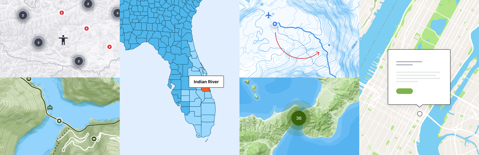
標記和彈出視窗
在地圖上添加任意數量的標記。
將標記添加到多個地圖。
使用廣泛的內置標記樣式。
啟用標記彈出視窗並自定義其樣式和行為。
自定義標記彈出視窗的開啟和可見性。
支持 Google Material 圖示。
在點擊時居中標記。
路線
管理任意數量的路線及其樣式。
使用繪製工具和路線匹配模式(行駛、步行、自行車)繪製路線。
自定義路線線條樣式:顏色、寬度、透明度、短劃線和斷開線。
將路線添加到多個地圖。
Treweler PRO
這些功能僅適用於Treweler Pro許可證。升級至專業版本即可獲得所有外掛功能和優質支援。
地圖功能
限制地圖縮放範圍。
初始傾斜角度和方位角。
將地圖平移限制為坐標或完全禁止它。
顯示單個世界或多個世界的自定義重疊顏色。
在初始地圖加載時自動顯示用戶的當前位置。
使用資訊小部件在地圖上放置其他信息或有趣的事實。
標記和彈出視窗
啟用標記集群以顯示大量標記。
啟用燈箱攝影集,以更詳細地描述標記地點。
外掛標籤
開發者團隊
原文外掛簡介
The Treweler plugin is a flexible and multifunction WordPress map builder based on the Mapbox web mapping platform. Its purpose is to help you create a custom map for your personal or business project. This combination of plugin functionality and Mapbox map customization provides limitless possibilities when creating a way to describe the world around us.
⭐ Treweler Free Features
These features are available in the free version of the plugin, which can be downloaded from this page. Upgrade to Treweler Pro to get access to all plugin features and premium support.
🌎 Map Features
Fully integrated and compatible with WordPress and Mapbox platforms.
Create and manage any number of maps in a few clicks.
Display full-screen maps using any WordPress page.
Publish your map in any place using shortcode functionality and settings.
Great choice of pre-installed map styles.
Mapbox Standard map style with 3D environment.
Day, Dusk, Dawn and Night light presets for the Mapbox Standard style.
Ability to create your own style using Mapbox Design Studio.
Ability to hide layers for classic and custom map styles.
The initial geographical center and zoom level.
Using the same map with different initial point and zoom settings.
Setting the display of standard map controls such as Distance Scale, Fullscreen, Search, Zoom & Pan, Geocoder and Geolocation.
Imperial, metric and nautical units for the distance scale control.
Manage the display of the required Mapbox logo and text attribution.
Сhanging the language of text labels on maps.
The “Geolocation” control to manually obtain the user’s current location.
Add a custom progress preloader with logo and text information that will appear once the entire map is loaded.
Add title, description and logo to make your maps unique.
Enable 3D terrain and 3D buildings for your Mapbox Studio style.
3D projection of the globe and 7 additional map rpojections.
Custom CSS classes.
Center map on click.
Display marker at the click point on the map.
📍 Markers & Popups
Add any number of markers to your maps.
Ability to add a marker to multiple maps.
Great choice of built-in marker styles with a wide range of settings.
Enable marker popups and customize their styles and behavior.
Customize the opening and visibility of marker popups.
Google Material icons support.
Center marker on a click.
Marker offset on click.
Popup close icon.
Opening custom link when clicking on a marker.
↩️ Routes
The ability to manage any number of routes and their styles.
Draw a route using the draw tools and route match modes (driving, walking, cycling).
Customize the following route line styles: color, width, opacity, dash and gap.
Ability to add a route to multiple maps.
🚀 Treweler PRO
These features are only available with a Treweler Pro license. Upgrade to Pro version to get access to all plugin features and premium support.
🌎 Map Features
Restrict the zoom range of the map.
The initial pitch and bearing.
Restrict map panning to coordinates or completely disable it.
Displaying a single world or multiple copies of the world.
Add a custom overlay color on the main map.
The ability automatically display the user’s current location at the initial map loading.
Place additional information or interesting facts on the map, using information widgets.
Determination of the user’s geolocation.
Display user’s geolocation marker.
📍 Markers & Popups
Enable marker clusters to display a large number of markers on your map.
Activate the lightbox photo galleries to describe marked places in more detail.
Upload your own images in any graphic format as custom markers.
Marker templates builder.
Custom fields builder for pupups and marker locators.
Customize marker text labels for clearer navigation.
Group markers together using categories and related functionality.
🚩 Interactive Tours
Ability to switch between markers and areas.
Two animation options: Jump or Fly.
Control the flight speed, flight curve and zoom level.
Enable or disable the display of popups when focusing on a marker during the tour.
Four possible tour controls positions.
Control markers offset by choosing any of the four possible directions.
🧭 Routes
Import a route in GPX file format.
Group routes together using categories and related functionality.
⛳ Countries & Regions Boundaries
Build and customize any combination of countries or regions.
Countries boundaries presets (Entire World, by Continents, by United Nations regions, by World Bank Regions, by Subregions, and any custom combination).
Admin 1 and admin 2 regions boundaries for the following countries: Australia, Canada, France, Germany, Italy, Spain, United Kingdom, USA.
Polygon fill color and opacity settings (initial state, hover state, selected state, custom state).
Polygon stroke color and opacity settings.
Action on click settings (none, open link).
Hover settings (none, popup with region name, popup with region name and custom value).
📡 Marker Locator
Sidebar with a list of markers.
Detailed description of the marker in the sidebar.
Сustom fields for the list of markers and for a detailed description of the marker in the sidebar.
Events on click for markers and sidebar cards.
Custom filters and filtering.
Display map markers within the user’s vicinity.
Display map markers in the vicinity of the area on the map that the user chooses.
Determined user’s position automatically, set manually by clicking on the map, or by using an intuitive address search with auto-completion.
Custom styles for the geolocation marker.
Option to show only necessary controls on the map (address search, automatic geolocation icon, sort by distance).
Option to place controls in a preferred corner of the map.
Sorting locations by distance.
Custom values for sorting by distance.
Setting default value for sorting by distance.
Setting distance sorting in either kilometers or miles.
Intuitive address search with auto-completion.
Left or right position of the sidebar.
Option to close the locator sidebar by default.
🔖 Filters & Filtering
Adding any number of custom filters to the map sidebar.
Filtering based on custom field values.
Filtering by marker category.
Filtering by distance (kilometers or miles).
Adjusting the order of filters in the sidebar.
Displaying the filter panel when clicking on the button or immediately when loading the map.
Button to reset all filters.
✏️ Shapes & Drawing Tools
Add any number of shapes to your maps.
Add a shape to multiple maps.
Add lines by using the Line tool.
Add other varieties of shapes using the Polygon tool.
Add circles with the Circle tool.
Use the Bezier tool to draw and edit bezier curves.
Customize shapes by the following list of style settings: fill color and opacity, stroke color and opacity, stroke width, dash and gap.
📌 Marker Templates Builder
Making a large number of markers in the same style by creating a marker template.
Marker style templates.
Marker popup and image gallery templates.
Marker text label templates.
Marker custom fields templates for popups and marker locators.
Change any marker setting while keeping the rest of the template settings.
🏗️ Custom Fields Builder
Expand your marker popup information with custom fields builder.
Create any number of custom fields.
Adding custom fields to marker templates.
Use the following types of custom fields: text & title, link, email, phone, separator, button, line, number, true/false, multiselect, custom HTML, categories.
Edit custom fields text information, and change their style and order.
Default and custom values.
Audio player shortcode for the “Custom HTML” custom field.
📥 Marker Importer
Import markers and their associated data from Google Sheets.
Create multiple imports, each linked to separate Google spreadsheet.
Select a particular page within the spreadsheet from which the data will be imported.
Import data for both standard and custom marker field.
Choose from different rules to remove existing markers when importing new data.