
內容簡介
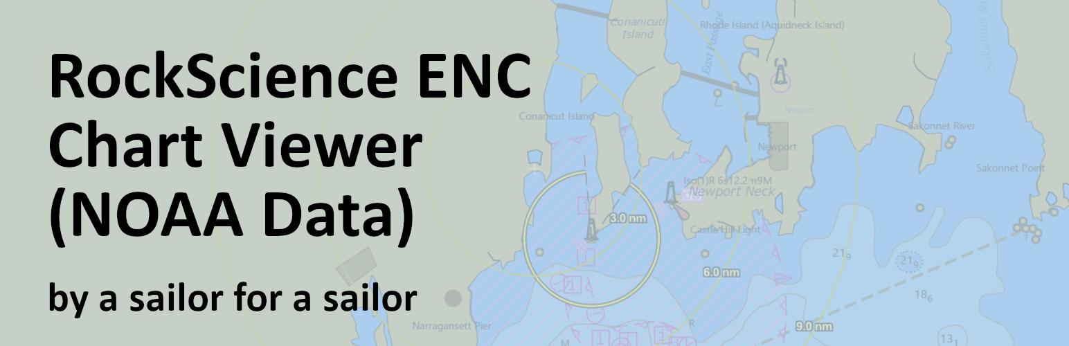
**總結:** 這是一個服務外掛,通過連接外部政府 API,提供對官方 NOAA 海洋導航圖的實時訪問。該外掛擔任您的 WordPress 網站和 NOAA 的 Electronic Navigational Chart (ENC) 服務之間的橋樑。
**問題與答案:**
1. 這個外掛提供了什麼服務特色?
- 提供官方 API 實時的 NOAA 海洋導航圖資料。
- 由 ESRI ArcGIS 映射服務提供動態圖表。
- 從政府來源獲取實時圖表更新。
- 不需要註冊帳戶。
- 其他海洋服務外掛的核心 API。
- 有預設座標的設定頁面。
2. 這個外掛與哪些外部服務有依賴性?
- NOAA 圖表服務(官方政府圖表)
- ESRI ArcGIS API(映射框架)
- 不會收集或傳送個人資料。
3. 這個外掛提供哪些海洋圖表覆蓋範圍?
- 包括美國沿海水域(大西洋、太平洋、墨西哥灣)
- 大湖區
- 美國領土(阿拉斯加、夏威夷、波多黎各等)
- 無法覆蓋 NOAA 的地區將僅顯示基本海洋地圖。
4. 這個外掛連接到哪些外部服務以提供海洋圖表功能?
- ESRI ArcGIS API:提供映射框架和 JavaScript 函式庫,用於顯示互動式圖表。
- NOAA 圖表服務:提供官方 NOAA 電子導航圖(ENC)數據以供顯示。
外掛標籤
開發者團隊
② 後台搜尋「RockScience Marine Chart Viewer for NOAA ENC」→ 直接安裝(推薦)
原文外掛簡介
This is a SERVICE PLUGIN that provides real-time access to official NOAA nautical charts by connecting to external government APIs. The plugin acts as a bridge between your WordPress site and NOAA’s Electronic Navigational Chart (ENC) services.
Important: Marine chart data is provided by NOAA and only covers U.S. coastal waters, Great Lakes, and U.S. territories. For areas outside NOAA coverage, only the base ocean map will be displayed.
Service Features:
* Real-time NOAA nautical chart data via official APIs
* Interactive charts powered by ESRI ArcGIS mapping service
* Live chart updates from government sources
* No account registration required
* Core API for other marine service plugins
* Settings page for default coordinates
External Service Dependencies:
This plugin requires internet connectivity to function as it provides live chart data from:
* NOAA Chart Services (official government charts)
* ESRI ArcGIS API (mapping framework)
* No personal data is collected or transmitted
Chart Coverage:
Marine chart data is sourced from NOAA Electronic Navigational Charts (ENC) and covers:
* U.S. coastal waters (Atlantic, Pacific, Gulf of Mexico)
* Great Lakes
* U.S. territories (Alaska, Hawaii, Puerto Rico, etc.)
* Areas outside NOAA coverage will display base ocean maps only
External Services
This plugin connects to external services to provide nautical chart functionality:
ESRI ArcGIS API
– Service: https://js.arcgis.com/
– Purpose: Provides the mapping framework and JavaScript libraries needed to display interactive charts
– Data sent: No personal data is transmitted to ESRI servers
– Terms: https://www.esri.com/en-us/legal/terms/full-master-agreement
– Privacy: https://www.esri.com/en-us/privacy/overview
NOAA Chart Services
– Service: https://gis.charttools.noaa.gov/
– Purpose: Provides official NOAA Electronic Navigational Chart (ENC) data for display
– Data sent: Chart tile requests based on map location and zoom level (no personal data)
– Terms: https://www.noaa.gov/information-technology/website-policies
– Privacy: https://www.noaa.gov/privacy-policy
ArcGIS CDN Requirement and Licensing Notice
Important: This plugin requires the ESRI ArcGIS JavaScript API, which must be loaded from the official ESRI CDN at https://js.arcgis.com/ per ESRI’s licensing terms.
It is not legally permitted to self-host or bundle the ArcGIS API with this plugin.
Reference: ESRI ArcGIS JS API Terms
The ArcGIS API is used solely to provide the mapping framework for NOAA chart display.
No personal data is transmitted to ESRI.
This requirement is due to ESRI’s license and is outside the control of this plugin’s author.
If you have questions about this requirement, please see the ESRI terms or contact the plugin author.